SIG Sauer P211 GT4 & GT5—The Sports Cars of SAO Pistols?
In a world where shooters can’t get enough of 2011-style pistols, SIG introduced…
In a world where shooters can’t get enough of 2011-style pistols, SIG introduced…
The Folding Defensive Platform from Zev Technologies—FDP for short—is a new take on…
The GSR-05 Slide Racker is TangoDown’s latest addition to its Vickers Tactical lineup….
All shooting is a balance between speed and precision. By that I mean you can…
The Mod-Navy Qual I’ve been doing this qual (or drill, or whatever the current nom…
• Built for road trips and off-road use• Manual transmission equipped• Wrapped in MultiCam Arctic…
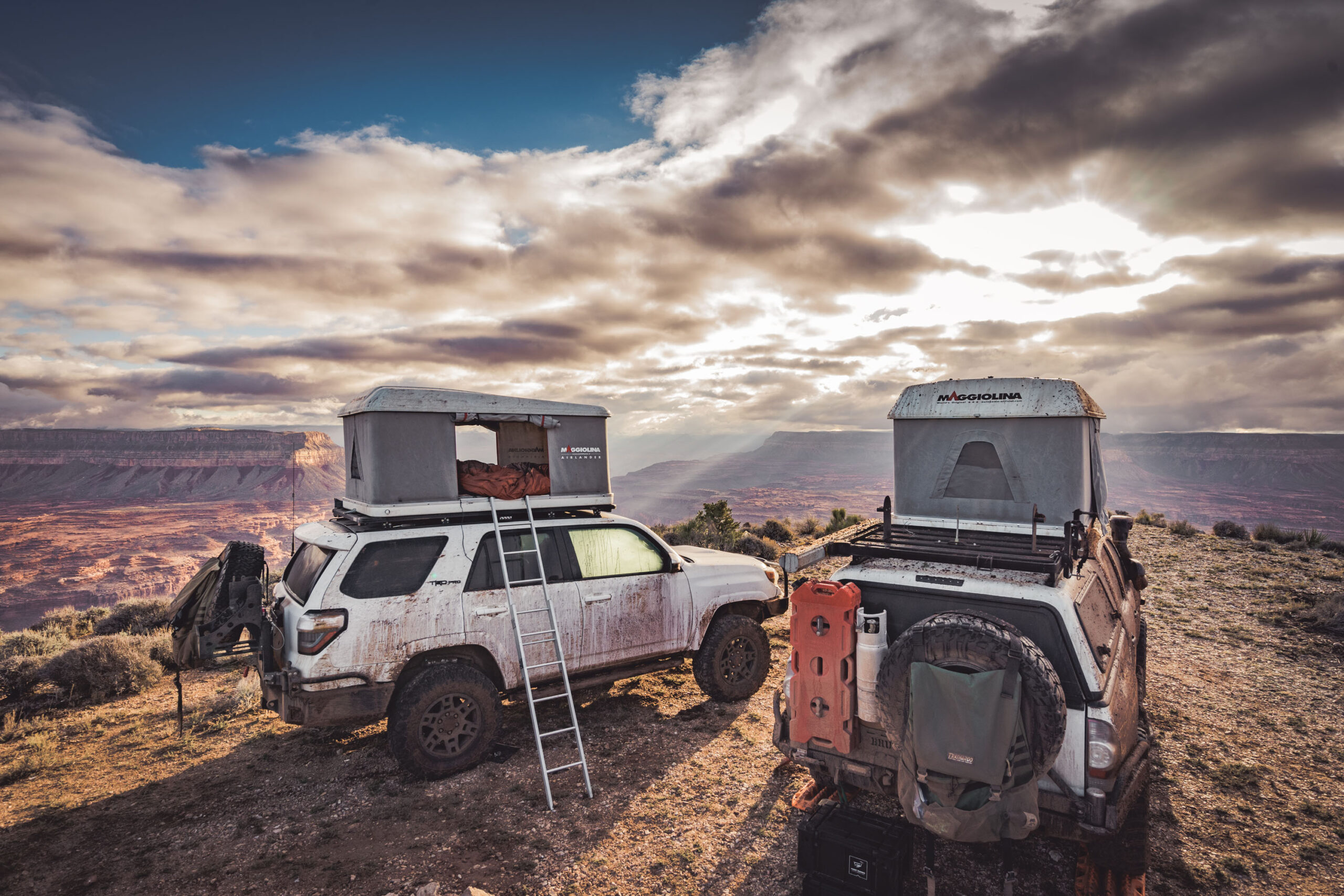
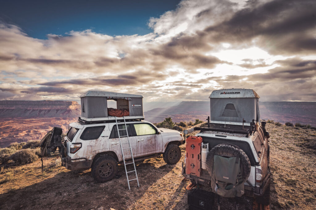
Adventure is often conceived by a simple notion, a fanciful idea that turns into an attainable goal. Such as the case for us, as what began as a pipe dream four years ago quickly came to fruition. We’d spent the last few months scrutinizing geological and forestry maps, plotting our course through the remote North Rim of the Grand Canyon to explore the canyon’s edge.
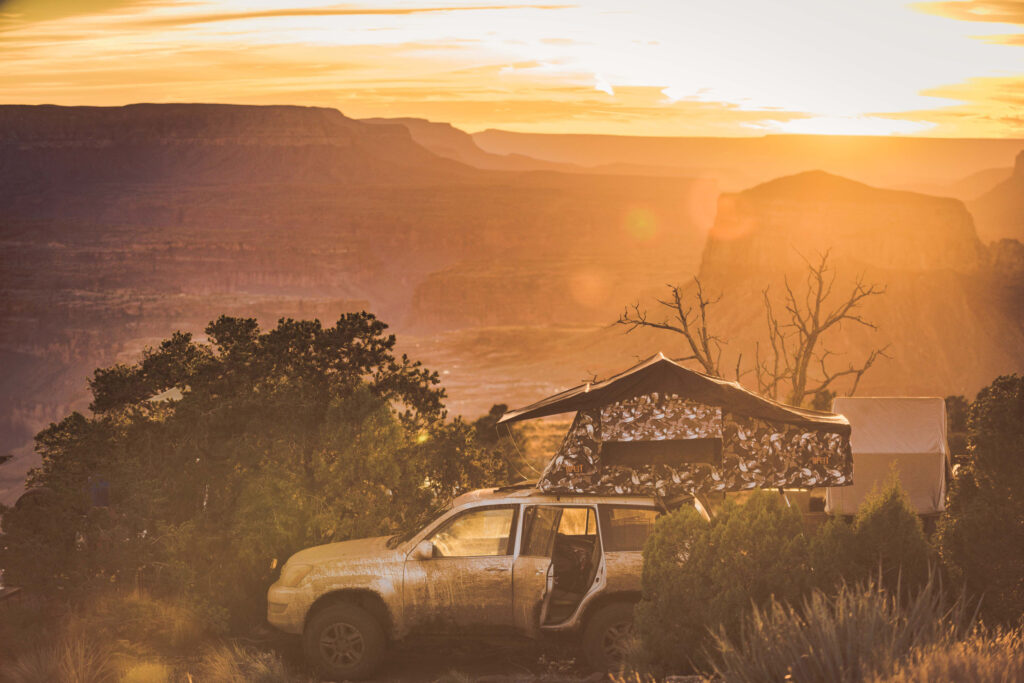
For the next eight days, we’d travel 500 miles through most of the North Rim almost entirely on dirt, dipping into National Park, National Forest, and BLM lands. The North Rim receives less than 10-percent of the total visitors to the Grand Canyon every year, and even less travel through the vast network of remote trails along the canyon rim due to the lack of services and gas stations. As there are no gas stations or grocery stores within the North Rim and along our route, proper considerations for gas, food, and water were necessary during the planning process. The longest distance between our gas stops would clock in at over 370 miles.
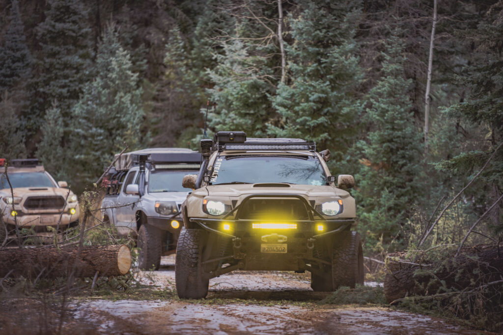
Our group gathered at our first night’s campsite at Parasawampitts Point in the Kaibab National Forest, our first stop along the Grand Canyon. Opting to skip the short hike to the edge the following morning due to long day of driving ahead of us, we set our sights for Point Sublime. The first signs of winter (and the elevation) became readily apparent as we encountered snowfall, ice, and plenty of downed trees- hampering our progress on the trail. We deployed our chainsaw, axes, and winch to quickly clear our routes. Finally reaching Point Sublime a bit behind schedule, we broke out lunch right on the edge of the Grand Canyon, enjoying our first spectacular view of the canyon.
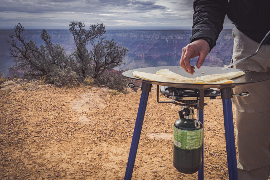
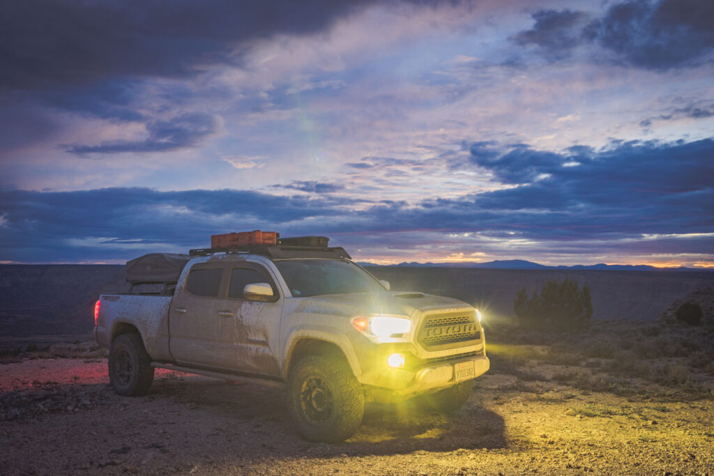
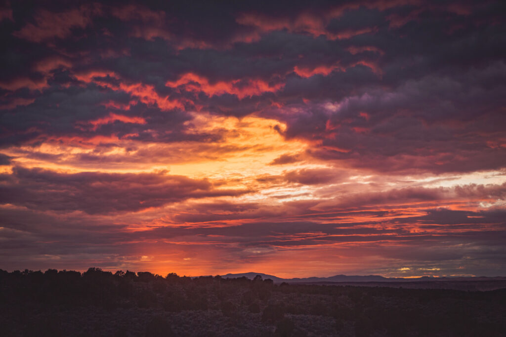
We made it the 70 miles to our next campsite just as the sun set beneath the horizon, with ominous looking clouds in the distance. We hunkered down for the night as a major storm pummeled our campsite almost 12-hours earlier than anticipated with heavy winds, rain, and hail. Not a single one of us would get a full night’s sleep as the winds ripped through our campsite, prompting some of us to sleep inside our trucks rather than brave nature’s fury outside in our tents.
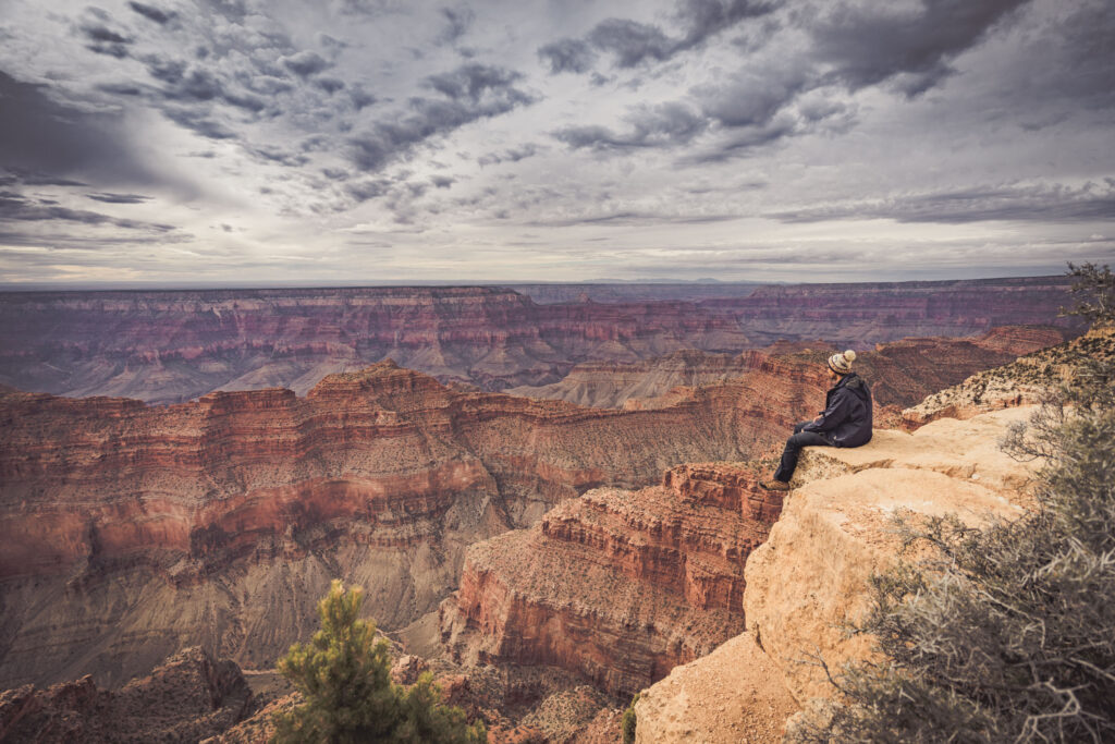
A small break in the weather that morning allowed us to snap a few photos of the canyon and quickly pack, but the downpour began yet again as we made our way out of camp. The rains had turned the trails into a wet mess of sticky clay and mud, making maintaining traction difficult.
Due to the deteriorating trail conditions, we chose to ride out the remainder of the storm in town, where we had already planned to refuel, and grab a hot breakfast. We would later find that the same storm system would dump over 12-inches of snow on the section of trail we had cleared the previous day, effectively closing it for the season.
No doubt due to the wet clay and mud caused by the fresh rainfall, we rolled into our campsite at Kanab Point sporting new brown paint jobs, and settled in for another night on the rim. As morning approached, the sun slowly peeked through parting storm clouds to reveal an awe-inspiring view of the canyon in front of us. With so many difficult miles travelled the past three days, and with the sun finally drying our wet gear, we struggled to leave the comfort of our warm tents.
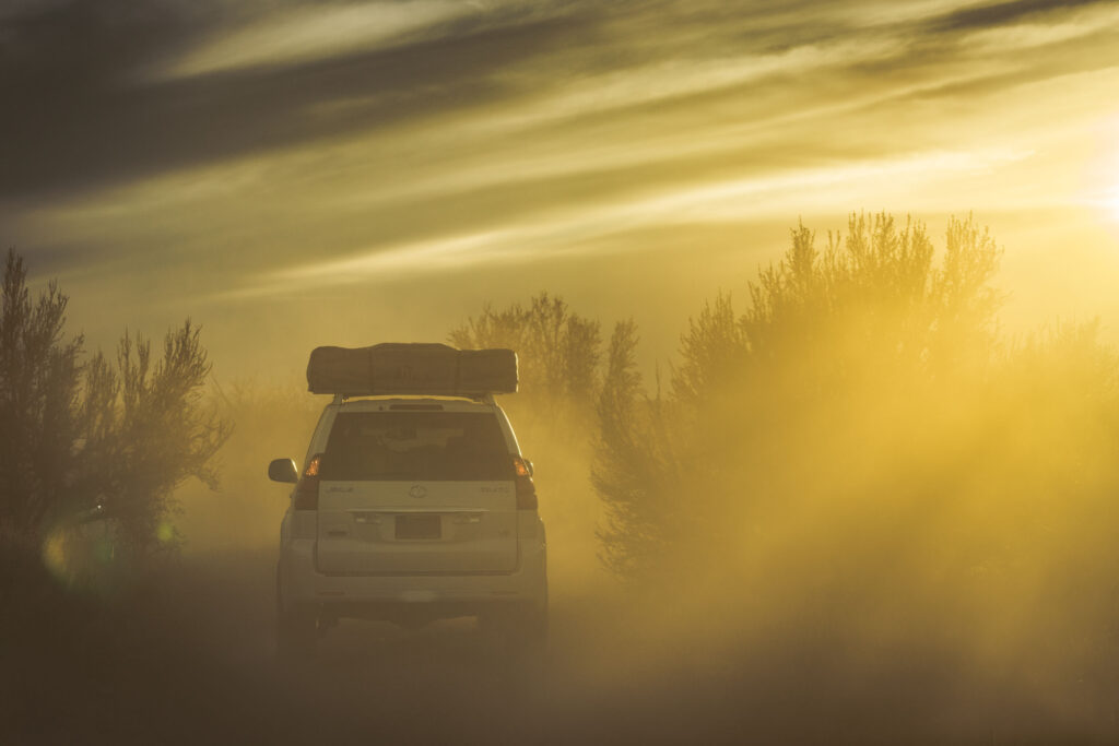
We slowly made our way to our next campsite at SB Point. The trail was tight and overgrown in some areas which slowed our pace considerably. But for the first time on the trip, we would be able to set up camp before sunset. We quietly sat in awe as the dwindling sunlight cast a spectacular array of colors throughout the canyon.
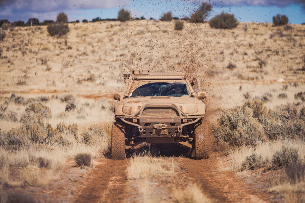
For half of our group, it would be a fitting end to their journey as they made their way back home before Thanksgiving. The rest of us, weary from the effects of non-stop travelling over the past six days, spent the next full day camped at Toroweap Overlook for Thanksgiving. We took a short hike up Tuckup Trail, and spent a cold Thanksgiving huddled around a portable campfire for warmth.
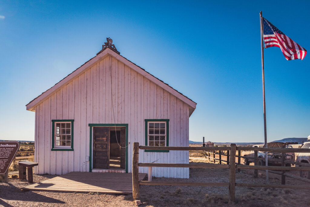
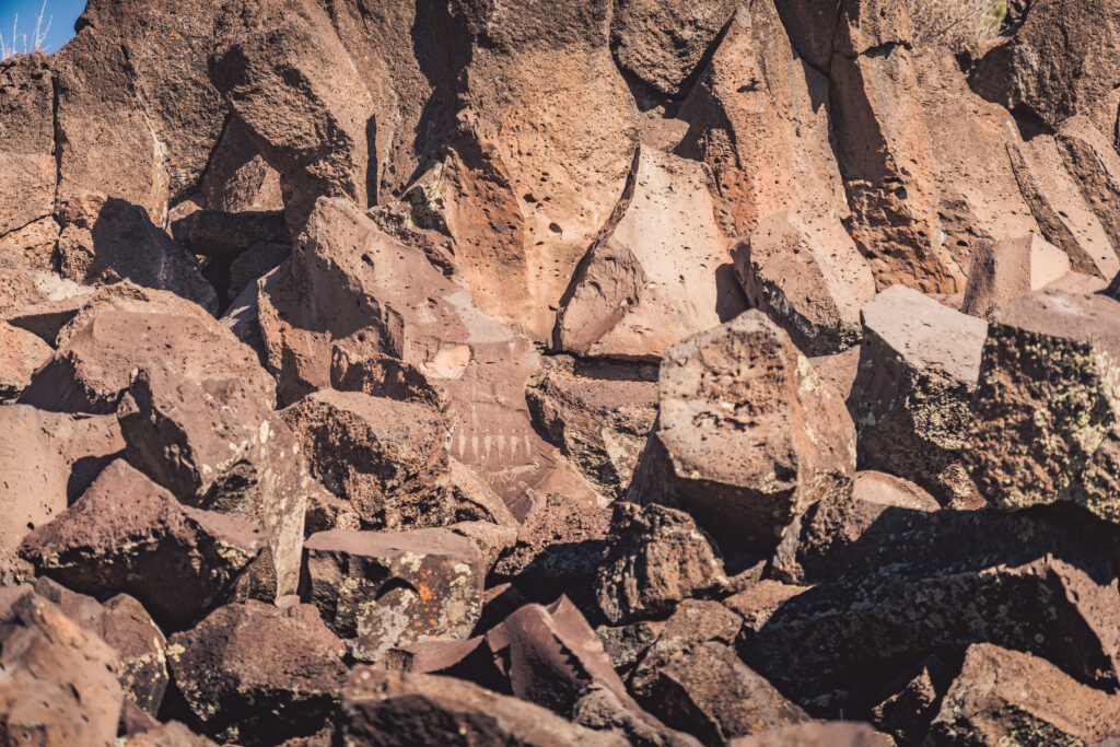
The next day was spent taking a side trip to visit the historic Mount Trumbull schoolhouse, located on a remote strip of Arizona occupied by cattle ranchers, and most notably founded and homesteaded by the Bundy family in the 1920s prior to their move to Nevada. We also took a short trip to visit some petroglyph sites at Nampaweap, where Anasazi Indians have occupied the area as early as 1 A.D. The petroglyphs here are the one of the largest remaining petroglyph sites in Arizona, with thousands of individual rock art elements over the half-mile long area of the preserve.
Leaving Nampaweap, we made our way down over the loose rocks and broken lava fields to our final campsite of the trip, at Whitmore Canyon Overlook- 700 feet above the Colorado River. Our timing could not have been any better, as we descended into camp just as the sun set over the hills above us. Looking below, we could clearly see a group of rafters also pulling up to shore to camp for the night. It was amazing to remember that just seven days prior at the beginning of our trip, we had been over 5,000 feet above the Colorado River, and now we could hear the water from the rapids below. We spent our final night on the canyon’s edge watching the embers fly from the last campfire of the trip.
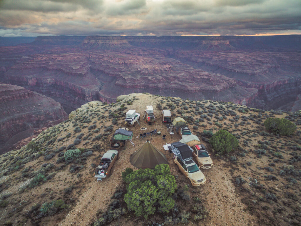
The following morning, we broke camp and began the journey home. A dream of over four years in the making had been accomplished, and with it came 500 miles of dirt roads, downed trees, ice, mud and freezing rainstorms, new friendships, and a front row seat to the world’s greatest view.
Text by Victor Nguyen and images by Victor Nguyen, Daryl Campos, and Stanley Law
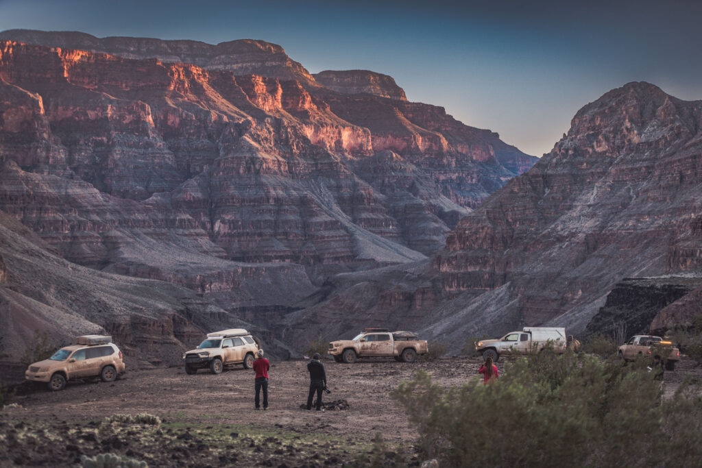
To see more of twentyfourseven adventures’ explorations, follow their Instagram @TFS.ADV
• Customized F-150 and motorcycle • Built as a platform to draw attention to PTSD • Driving/riding from Washington to Virginia to support ptsdfoundation.org The F-150 you see…
Have you ever wanted to just bust out of work after a hectic workweek and hit the open road to do some exploring, far away from civilization as…
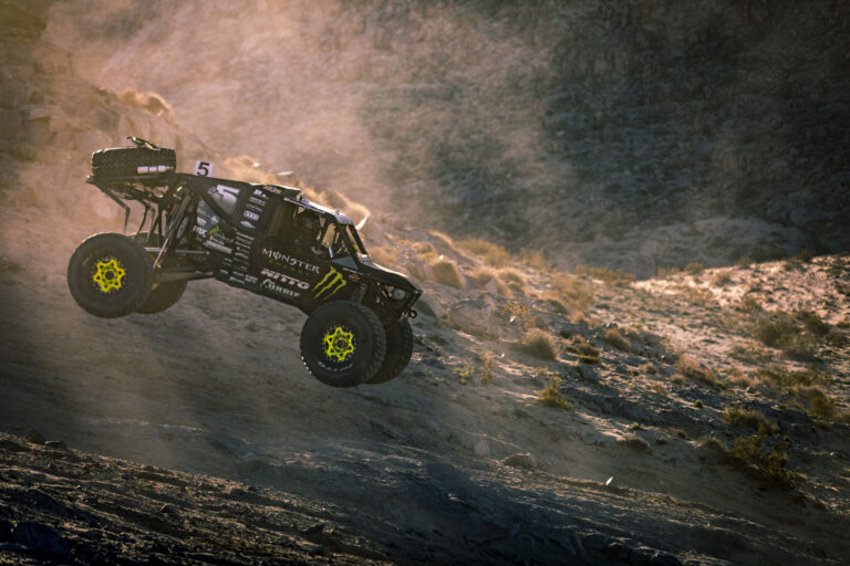
When I hear the words “King of the Hammers” my mind starts racing, dirt, dust, rocks, and carnage. King of the Hammers is, without doubt, the event that…
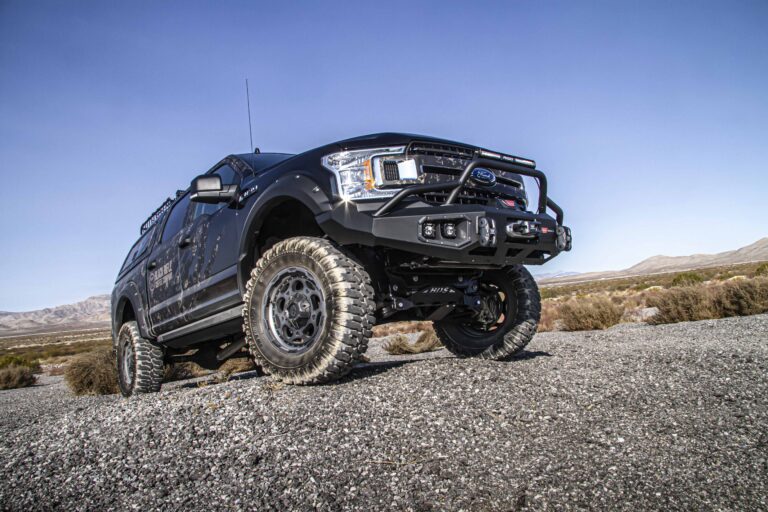
The Specialty Equipment Market Association Show—SEMA for short—is the world’s largest automotive aftermarket tradeshow. The annual industry-only event takes place in Las Vegas, where it encompasses the entire…
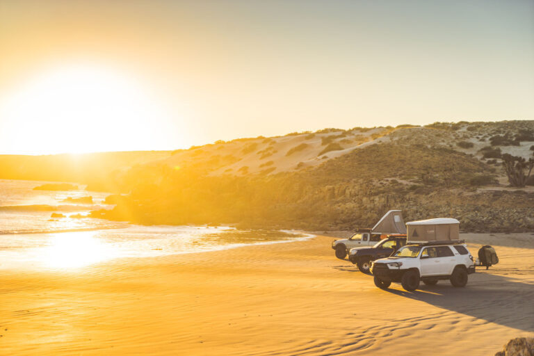
51st SCORE Baja 1000 807-mile loop race course Location: Baja California Peninsula The unmistakable notes of a high-strung motor being pegged at full throttle jolted me awake. I…
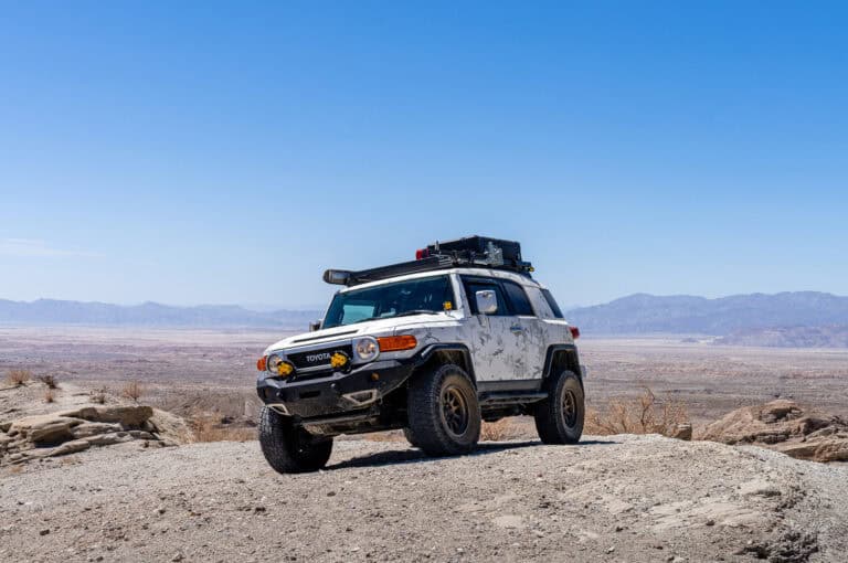
• Built for road trips and off-road use• Manual transmission equipped• Wrapped in MultiCam Arctic For my entire driving life, I’ve only ever owned compact sports coupes, and…
© 2026 UN12 Magazine
© 2026 UN12 Magazine
Wait! Don’t forget to